Log in
All resources
Create a design
863,826 Free Images of Maps By Coronelli
maps in the library of congress
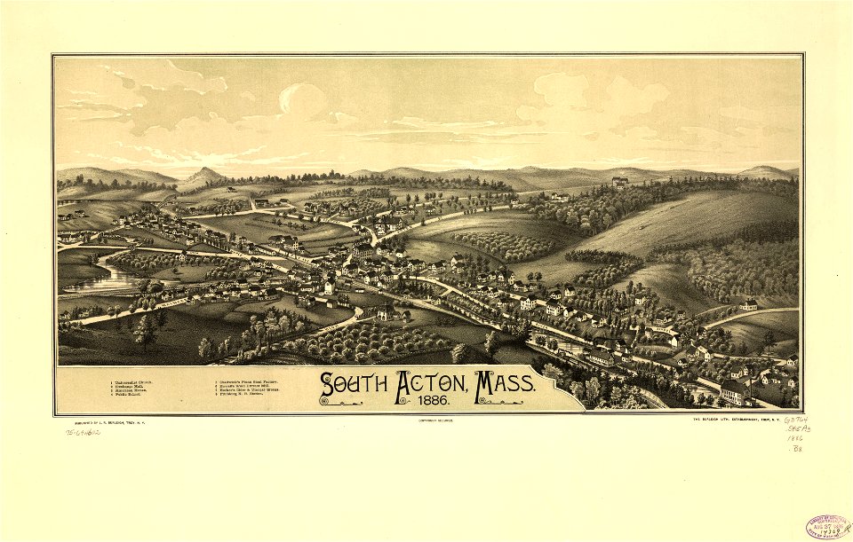
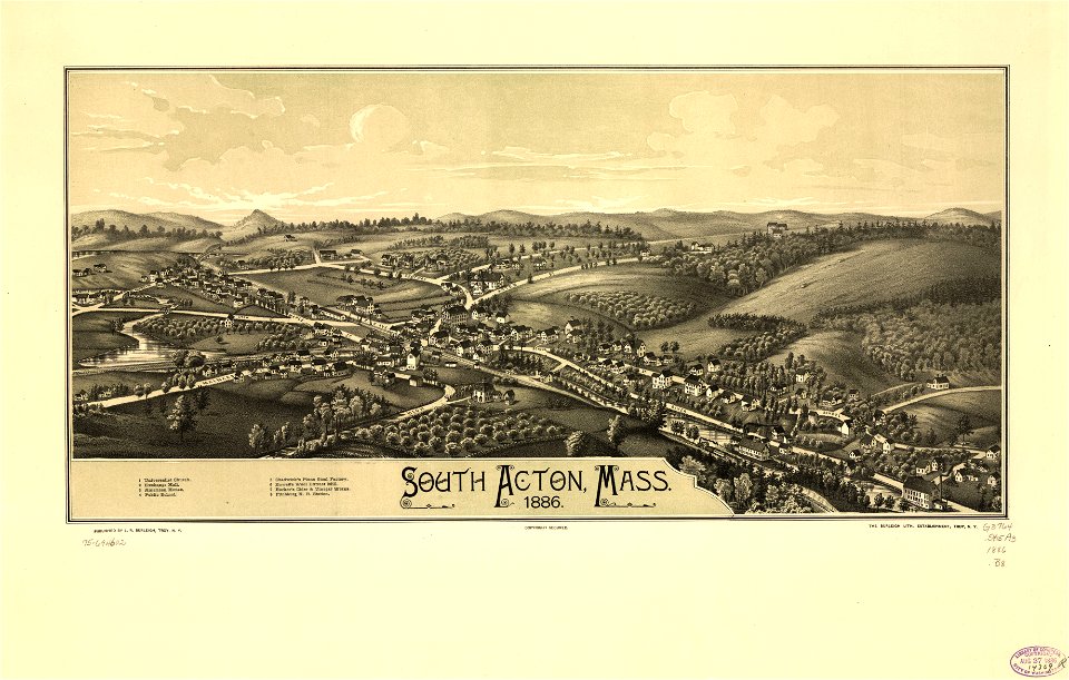
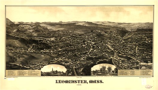
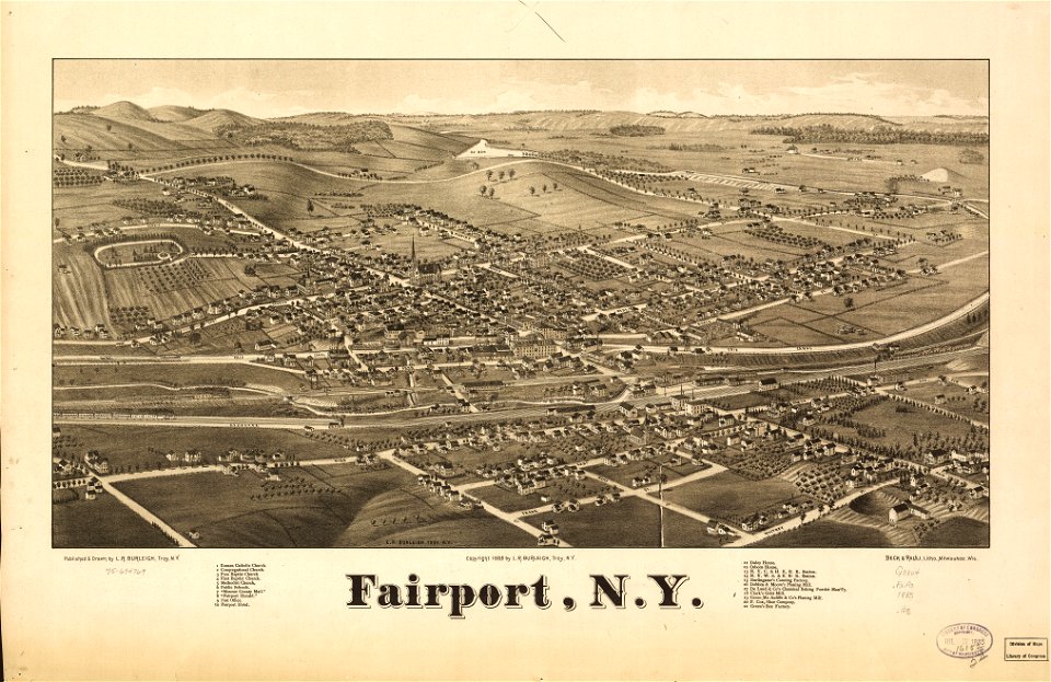
town maps by l. r. burleigh
david rumsey historical map collection
l. r. burleigh
massachusetts
new york
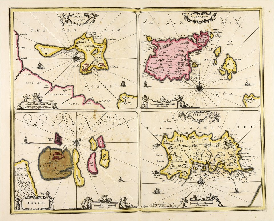
maps by willem and johannes blaeu
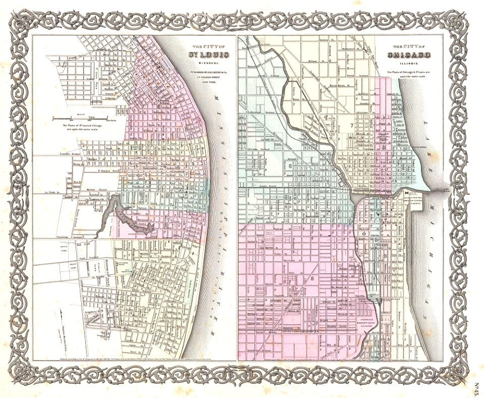
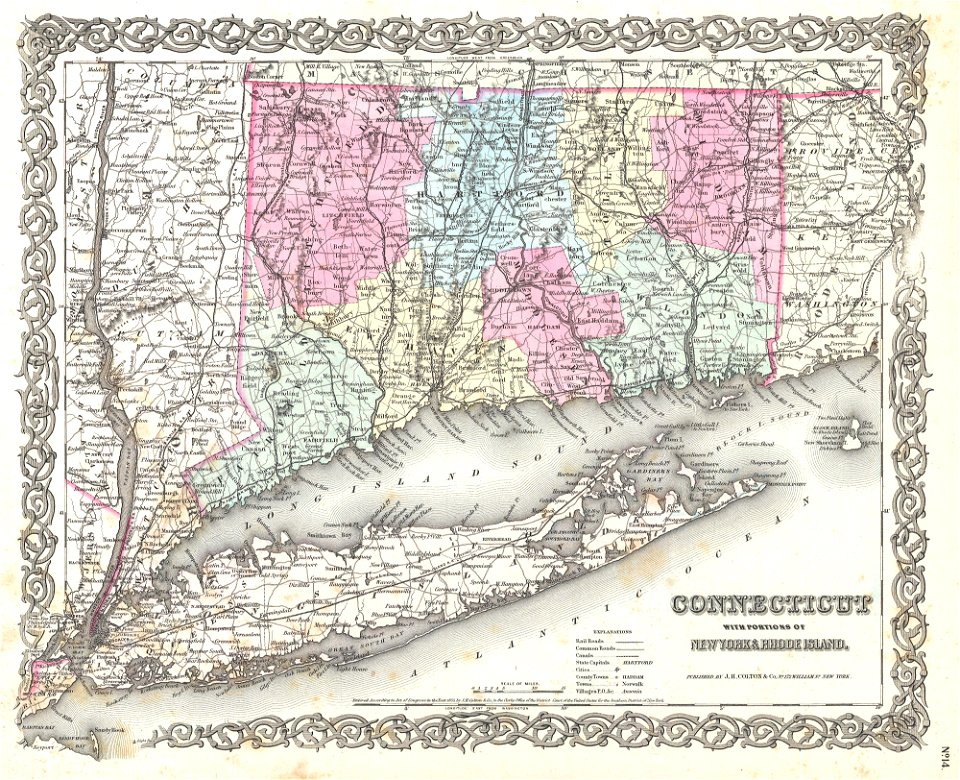
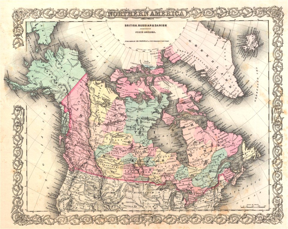
maps by joseph hutchins colton
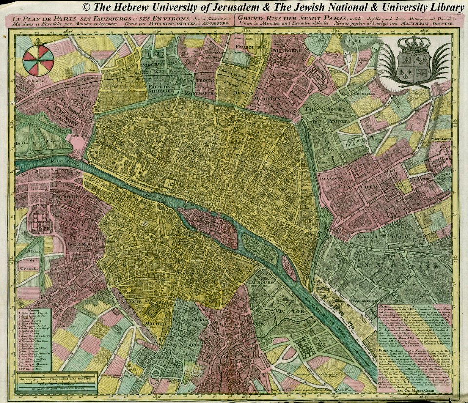
maps by matthäus seutter
maps by jacques-nicolas bellin
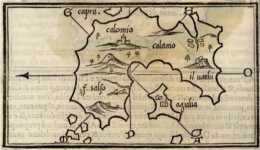
maps by benedetto bordon
kalymnos
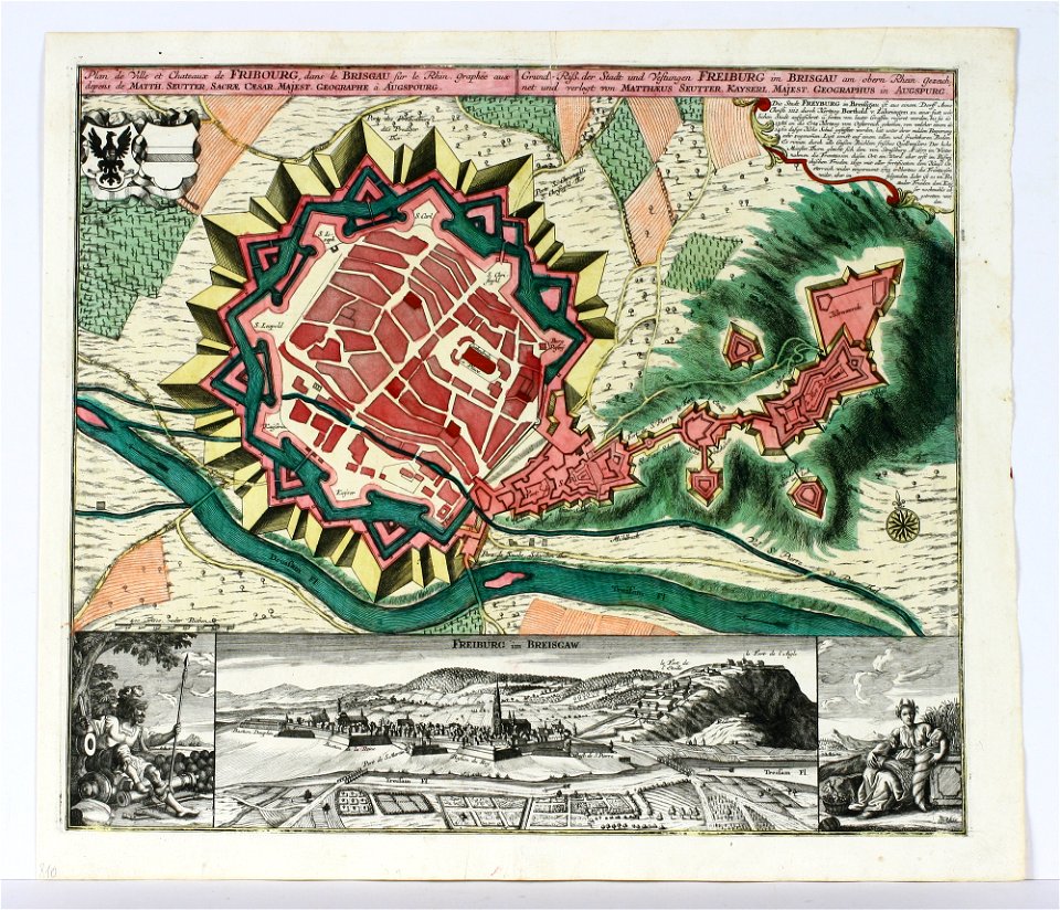
old maps of freiburg im breisgau
maps by matthäus seutter
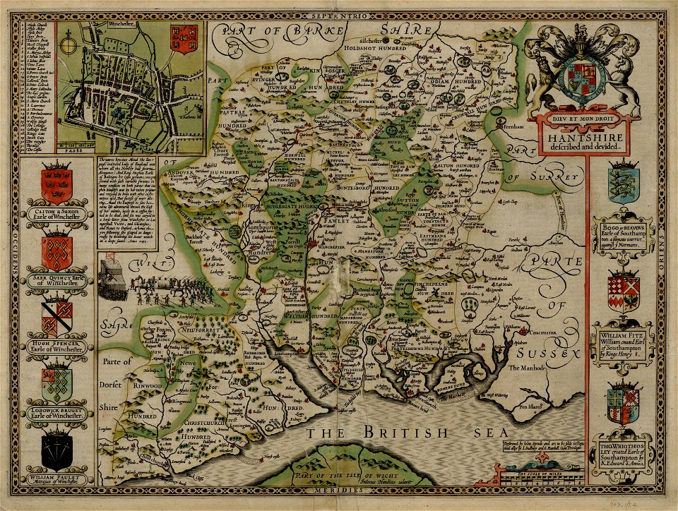
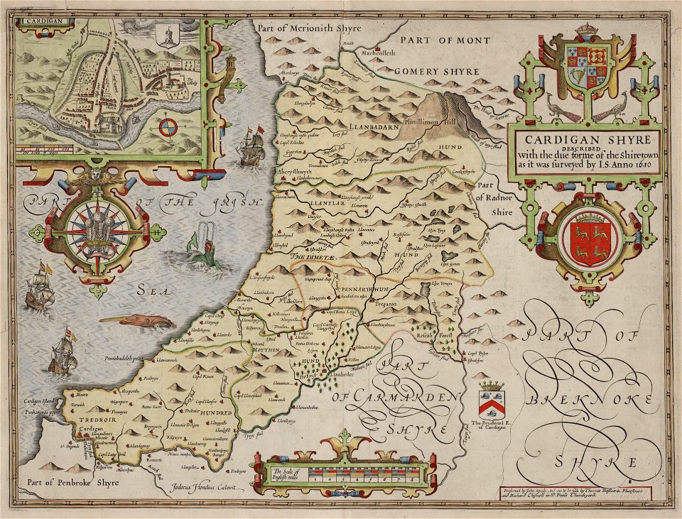
county maps of england by john speed
old county maps of hampshire
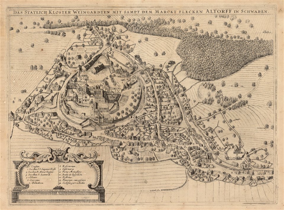
engravings by matthäus merian
1644 maps of europe
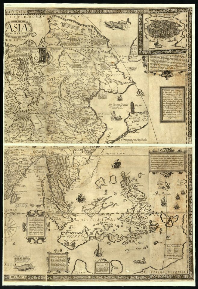
maps by jodocus hondius
samuel purchas
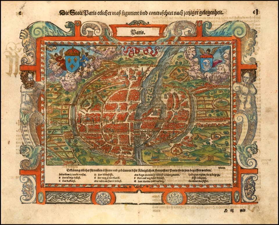
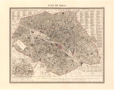
maps of paris in the 16th century
16th-century maps of paris
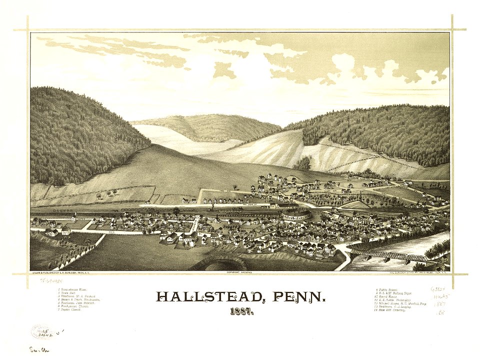
pennsylvania
hallstead
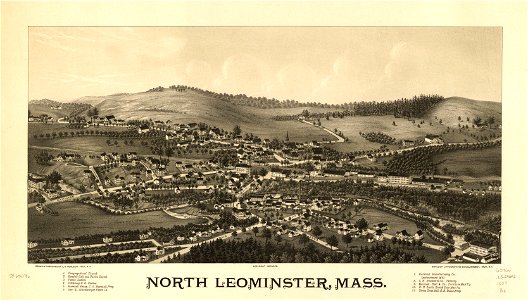
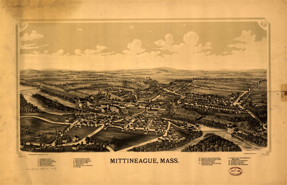
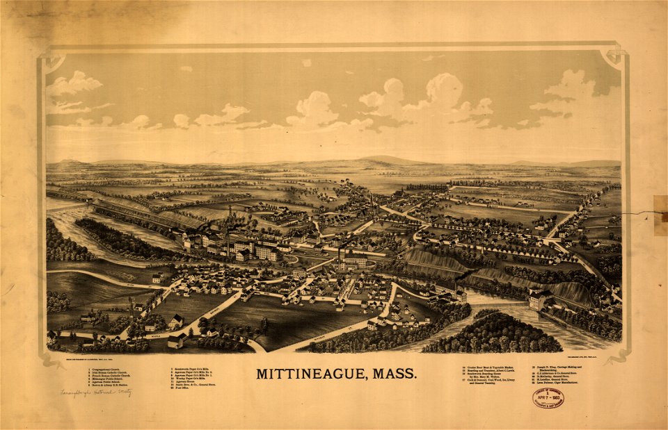
old maps of massachusetts
massachusetts
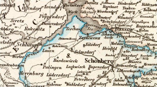
old maps of mecklenburg
maurin
new york
hunter
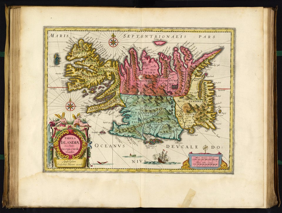
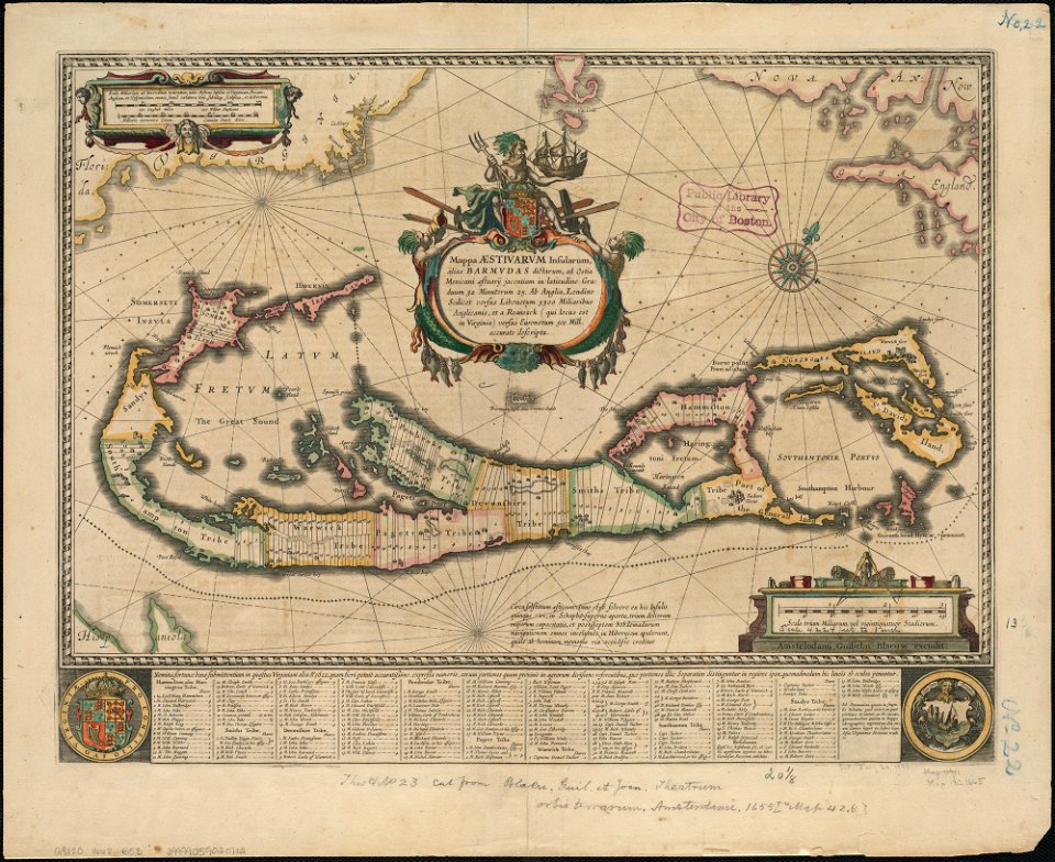
maps by willem and johannes blaeu
joan blaeu
maps in the library of congress
maps by matthäus seutter
maps by willem and johannes blaeu
jodocus hondius
maps in the library of congress
new york
1850s maps of chicago
missouri
maps of paris from the david rumsey historical map collection
1863 maps
david rumsey historical map collection
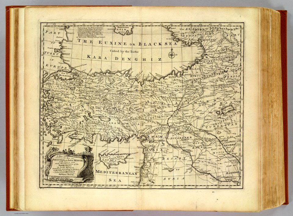
j. and p. knapton
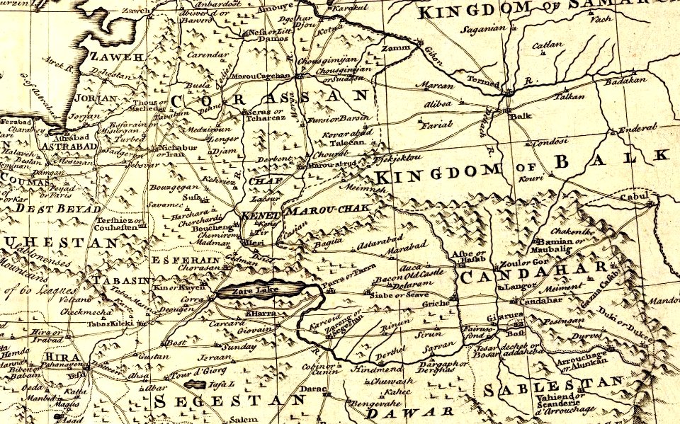
kandahar province
j. and p. knapton
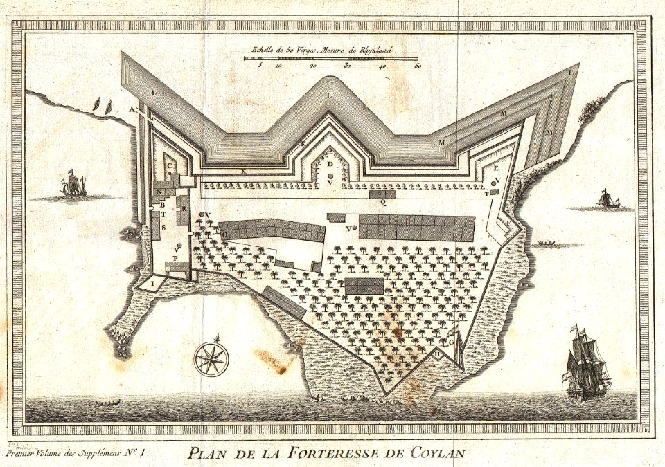
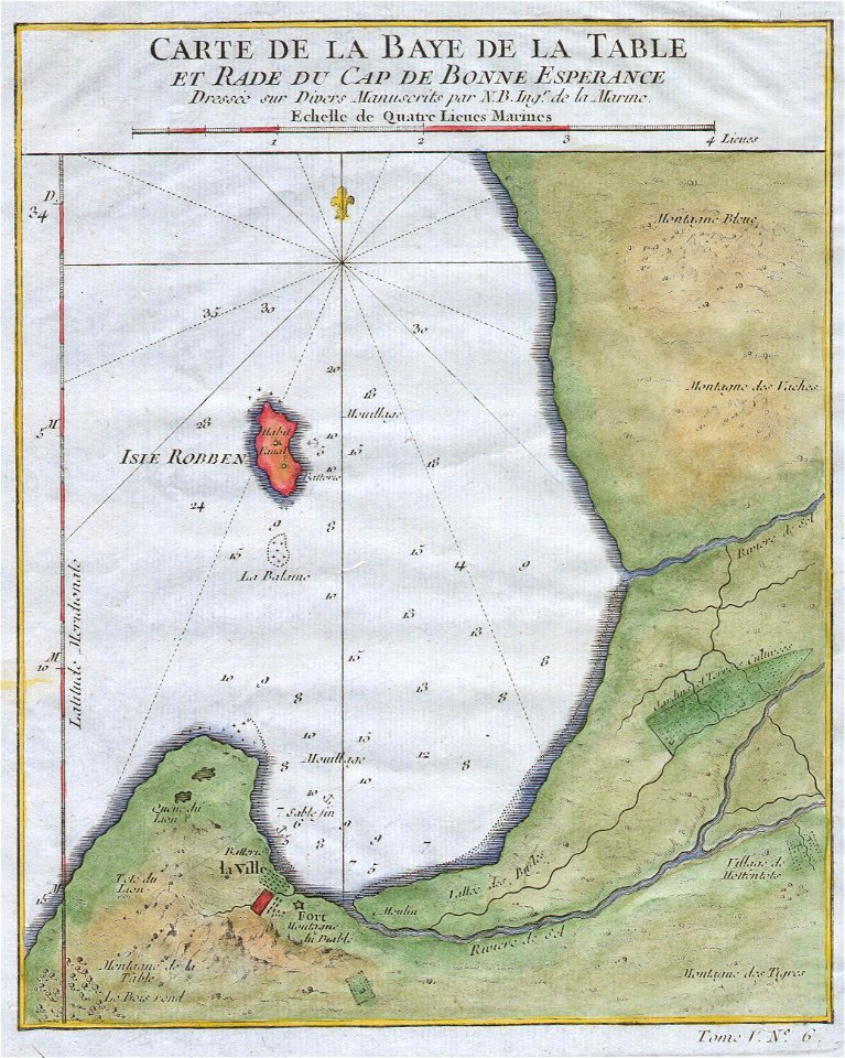
maps by jacques-nicolas bellin
kollam
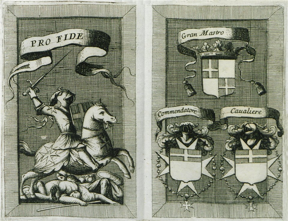
coats of arms of knights of malta
illustrations by coronelli
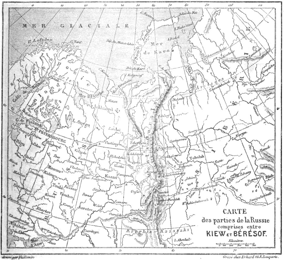
volume 6 of le tour du monde
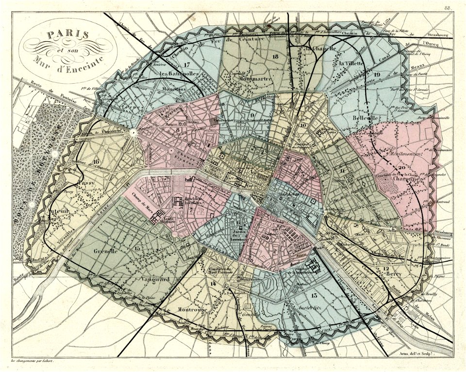
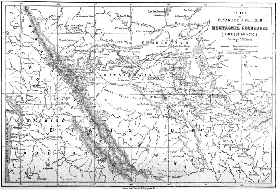
maps by alexandre vuillemin
maps in the library of congress
massachusetts
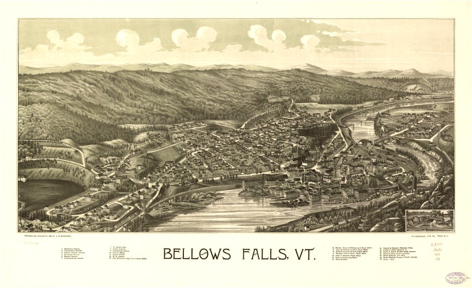
maps in the library of congress
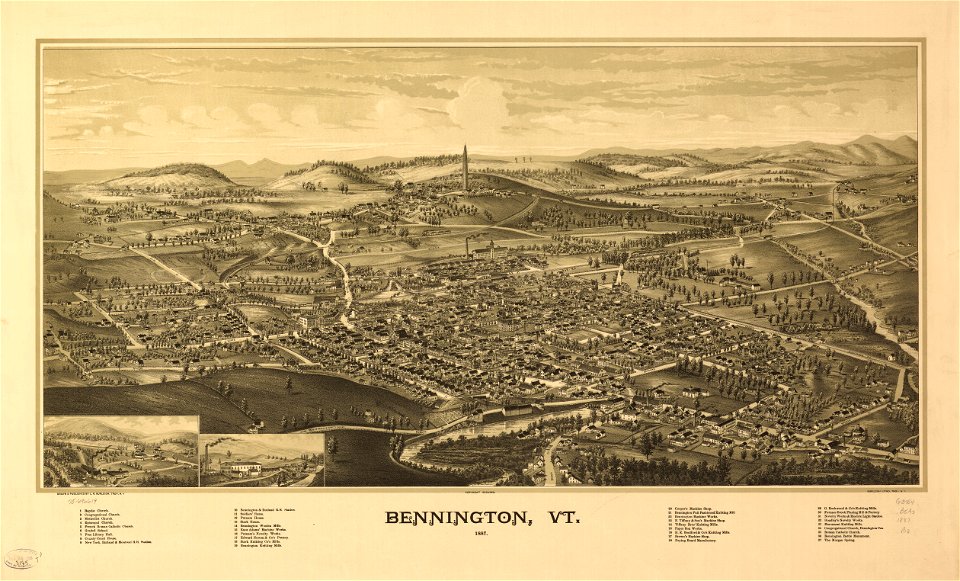
vermont
maps in the library of congress
vermont
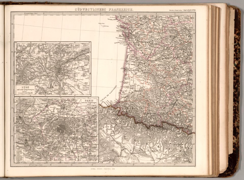
david rumsey historical map collection
1866 in paris
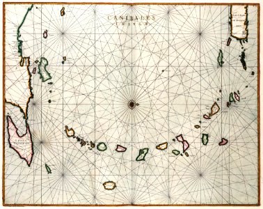
maps by willem and johannes blaeu
1662
pillars of hercules in heraldry
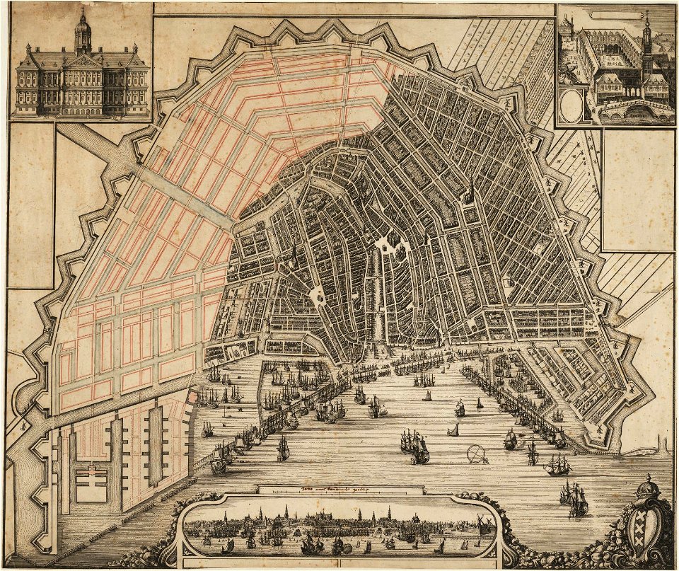
old maps of holland
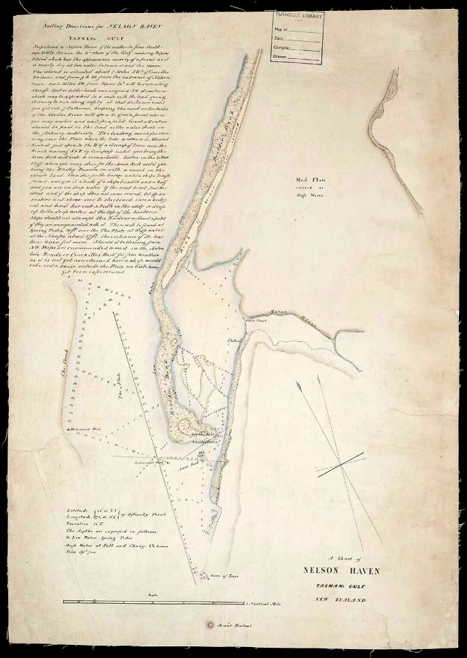
artwork by charles heaphy
old maps of new zealand
maps in the library of congress
massachusetts
maps in the library of congress
massachusetts
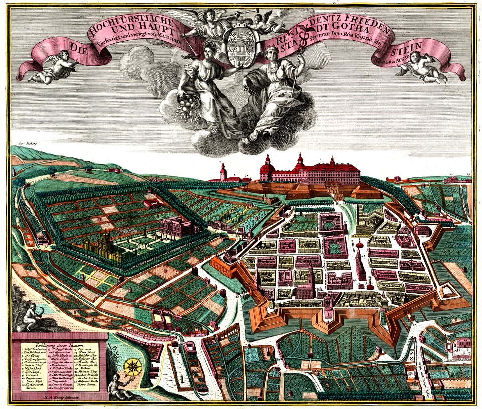
schloss friedenstein (gotha)
18th-century engravings
maps by willem and johannes blaeu
old maps of rotterdam
maps in the national library of wales
old county maps of cardiganshire
maps by matthäus seutter
copyfraud
maps in the library of congress
massachusetts
maps by willem and johannes blaeu
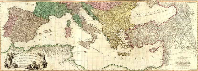
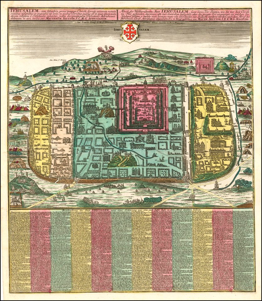
old maps of israel
maps with cartouches
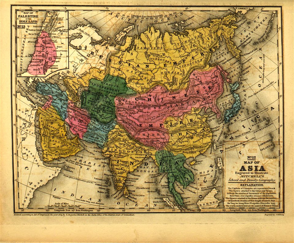
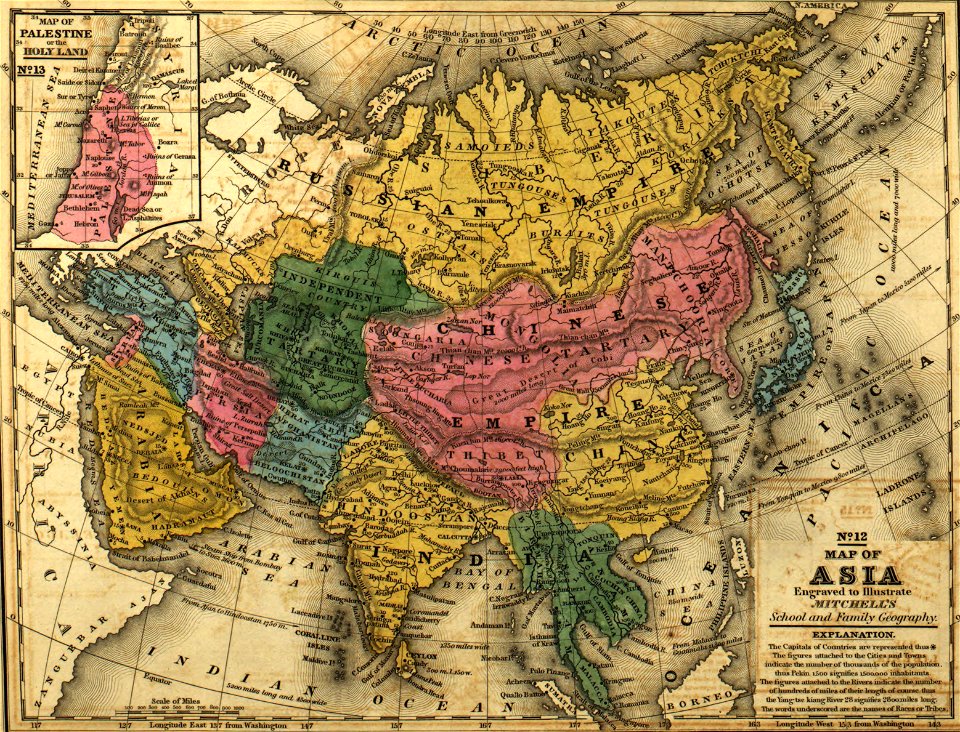
old maps of asia
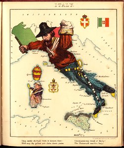
old maps of italy
pictorial maps
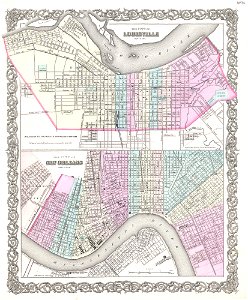
louisville,
kentucky
cambridge
new york
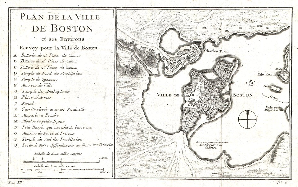
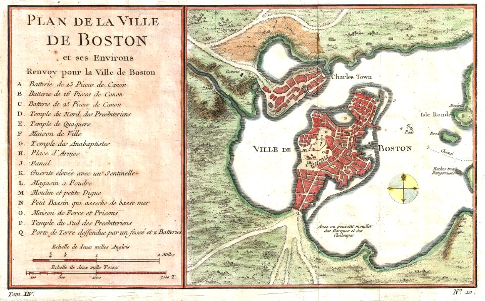
maps by jacques-nicolas bellin
jacques-nicolas bellin
maps by jacques-nicolas bellin
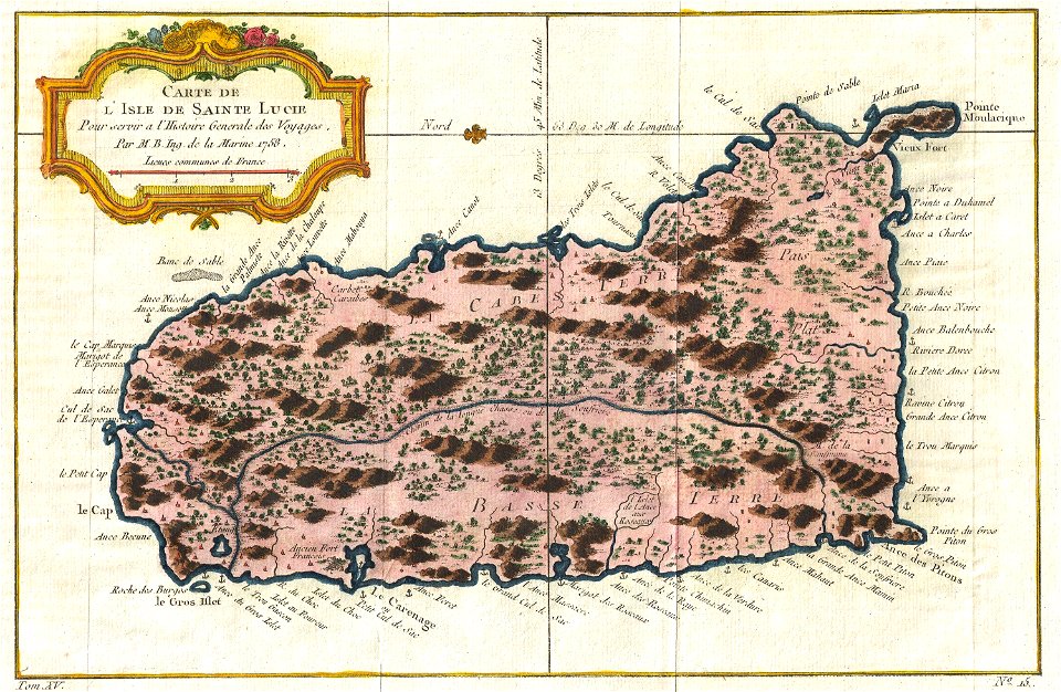
old maps of saint lucia
maps by jacques-nicolas bellin
jacques-nicolas bellin
david rumsey historical map collection
old maps of the middle east
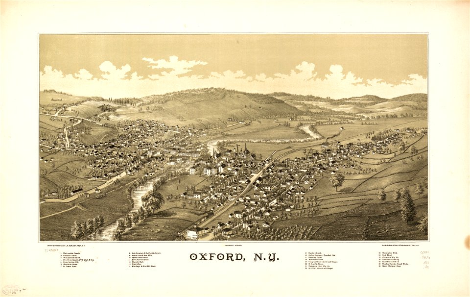
new york
oxford
long island sound
block island
maps of paris from the david rumsey historical map collection
1869 in paris
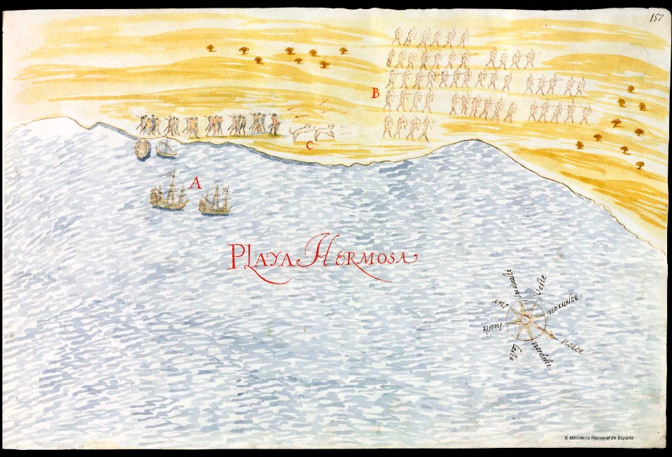
old maps of mexico
pictorial maps
old maps of south africa
table bay
old maps of jordan
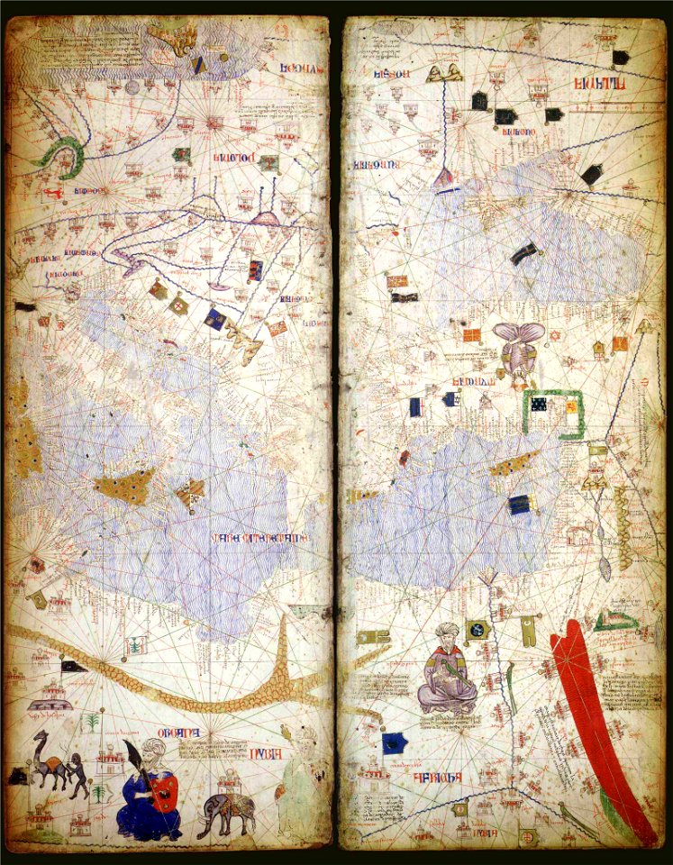
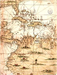
catalan atlas
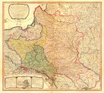
maps of the kingdom of galicia and lodomeria
maps by william faden
david rumsey historical map collection
maps by william faden
david rumsey historical map collection
maps by william faden
maps in the library of congress
vermont
maps in the library of congress
vermont
atlantis magni tomus primus (biblioteca comunale di trento)
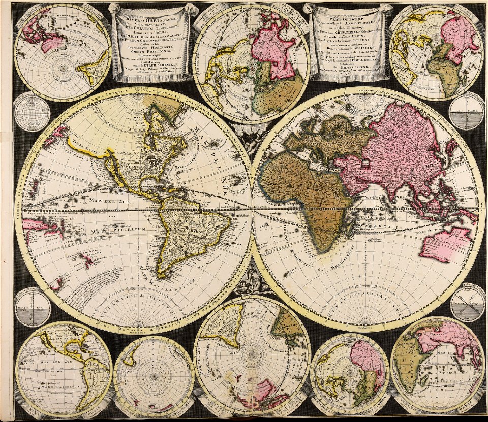
maps by pieter schenk (i)
old maps of canada
province of canada
hampton roads history
old maps of virginia
allegories of the four elements
islands of california
coats of arms on maps
ships on maps
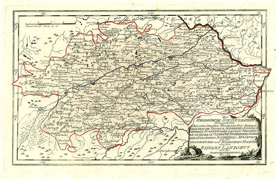
maps made in the 18th century
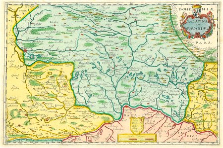
maps of lower bavaria
massachusetts
leominster
dancker danckerts
joan blaeu
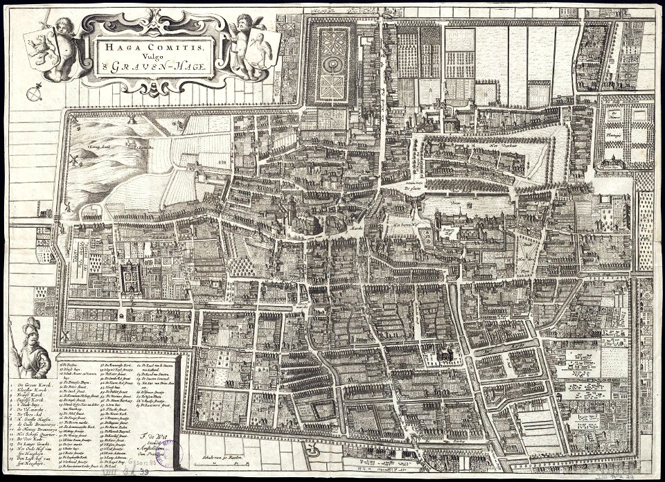
maps by frederick de wit
old maps of the hague
new york
fairport
massachusetts
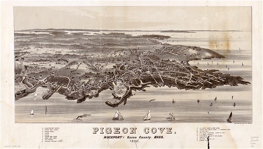
pigeon cove
massachusetts
pigeon cove
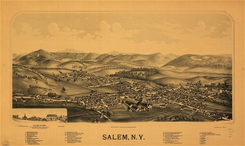
new york
salem
maps in the library of congress
new york
stillwater
new york
1860s maps of the united states
maps by alexandre vuillemin
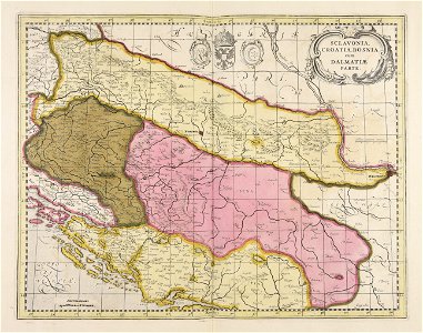
old maps of bosnia and herzegovina
gerard valck
j. and p. knapton
caspian sea
old maps of guatemala
old maps of colombia
old maps of india
qinghai lake
old maps of india
qinghai lake
old maps of india
qinghai lake
pictorial history of the russian war 1854-5-6 by george dodd
19th-century maps of the caucasus
maps made in the 17th century
gerard valck
maps by johannes janssonius
maps by wenzel hollar
david rumsey historical map collection
j. and p. knapton
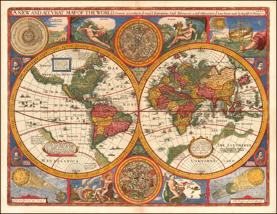
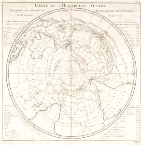
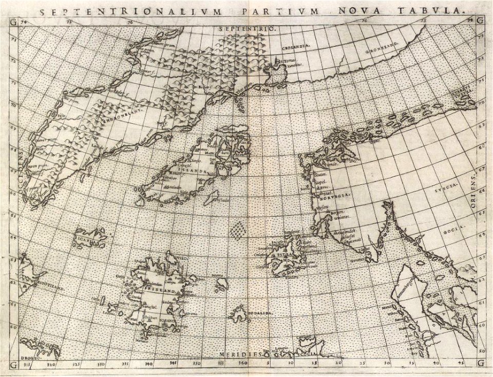
old maps of earth's hemispheres
french-language maps
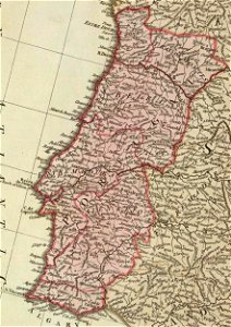
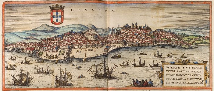
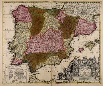
old maps of the iberian peninsula
1700s maps of portugal
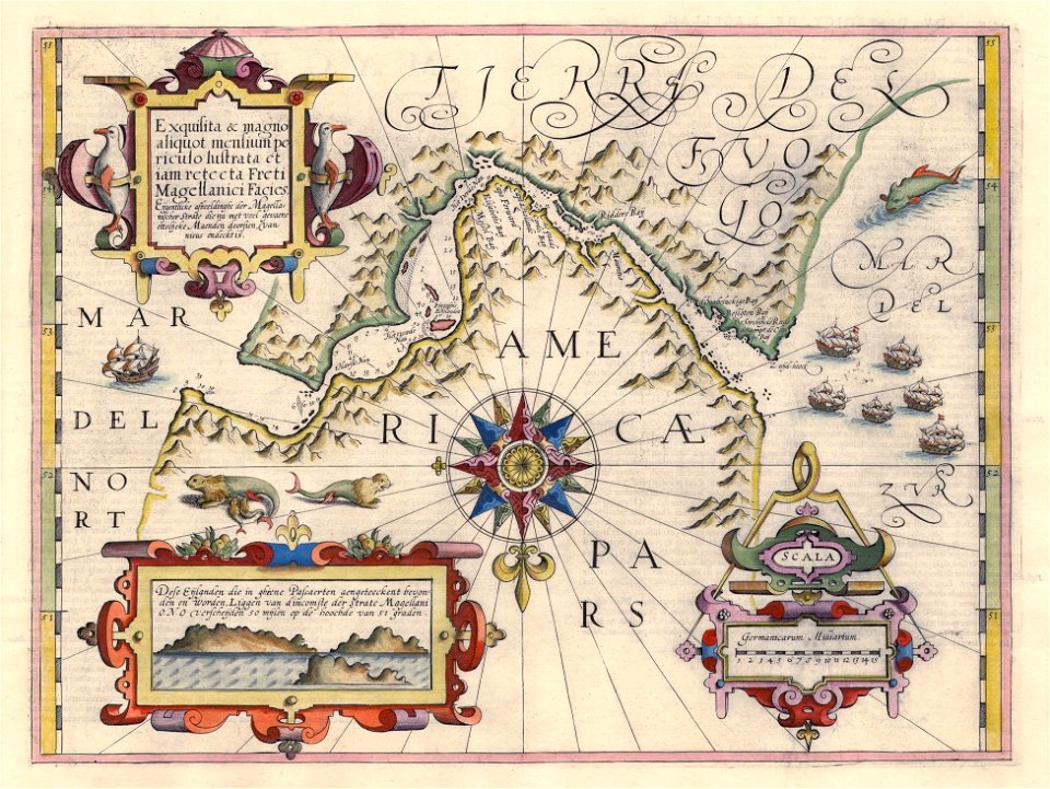
maps by jodocus hondius
1606 maps
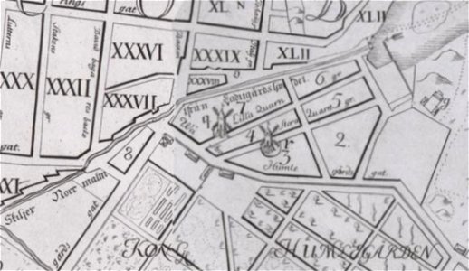
windmills in stockholm
maps of östermalm
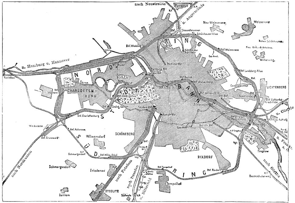
19th-century maps of berlin
maps by brockhaus
maps by matthäus seutter
old maps of jerusalem
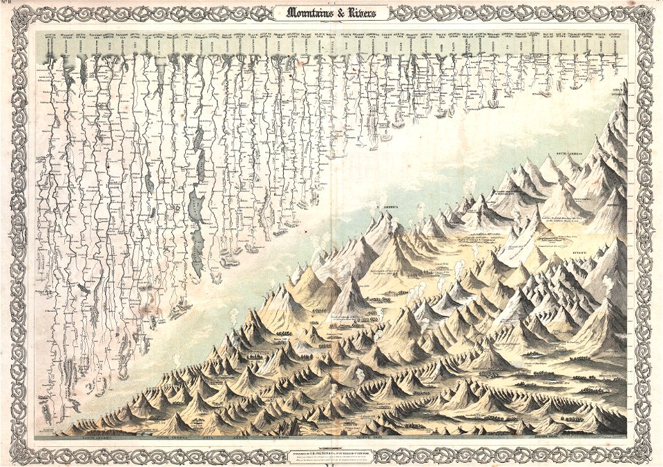
geographic comparison diagrams
diagrams of mountains
latin-language maps
1630 maps
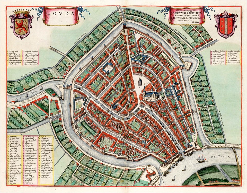
maps by willem and johannes blaeu
1635 maps
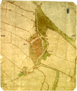
maps by jacob van deventer
old maps of brielle
maps by frederick de wit
copper engraving
maps by willem and johannes blaeu
atlas van loon
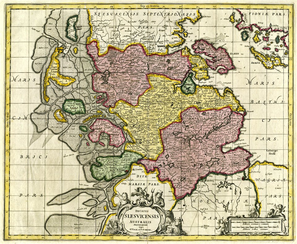
17th-century maps of schleswig-holstein
gerard valck
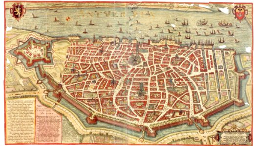
maps and topographical views by joris hoefnagel
maps of antwerp
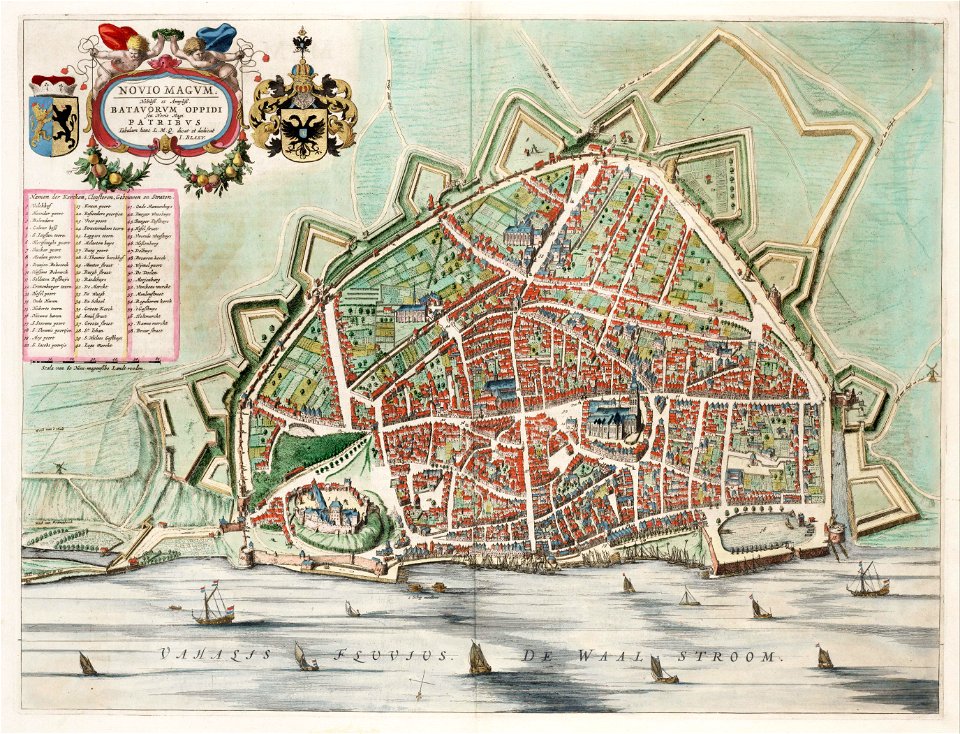
maps by willem and johannes blaeu
atlas van loon
maps of paris by braun & hogenberg
maps of paris from paris musées
maps by pieter pourbus
1570s maps
maps of paris by braun & hogenberg
maps of paris from paris musées
provided by landsbókasafn íslands
1561 maps
1201 - 1300 of 863,826
Next page
/ 8639